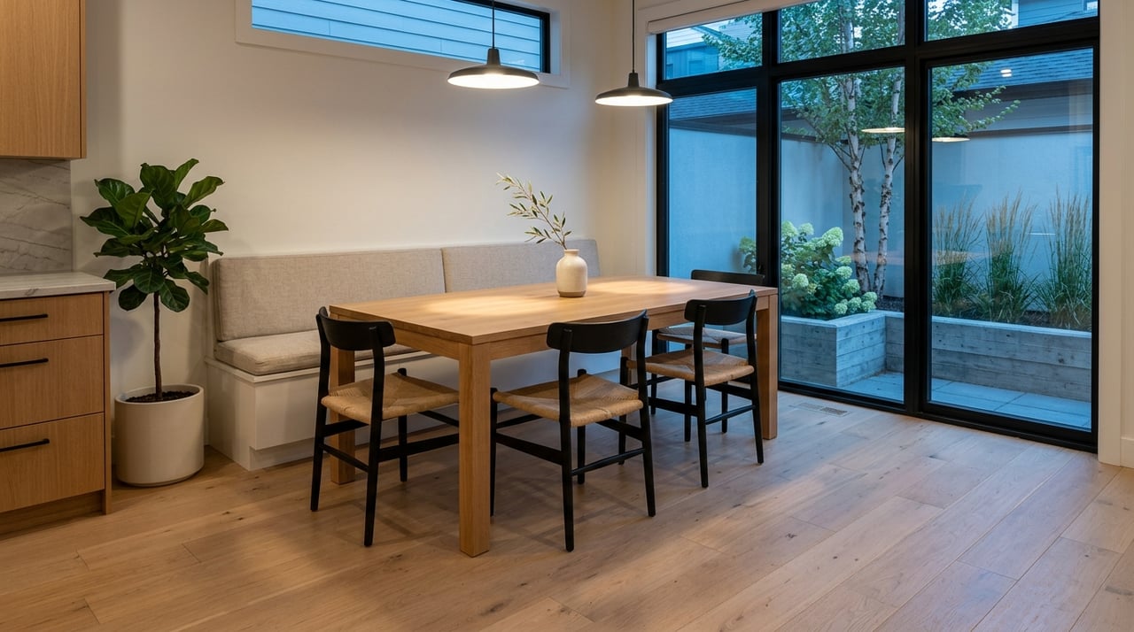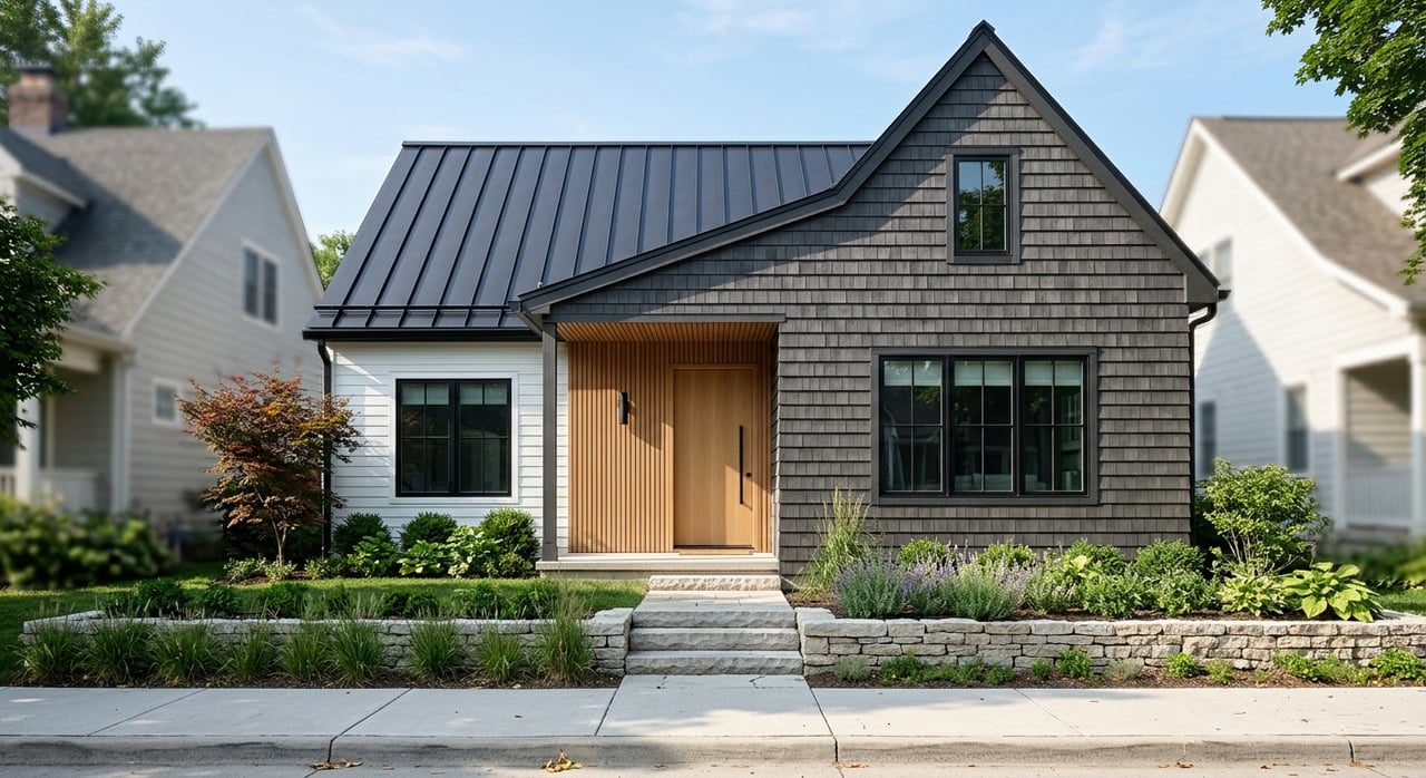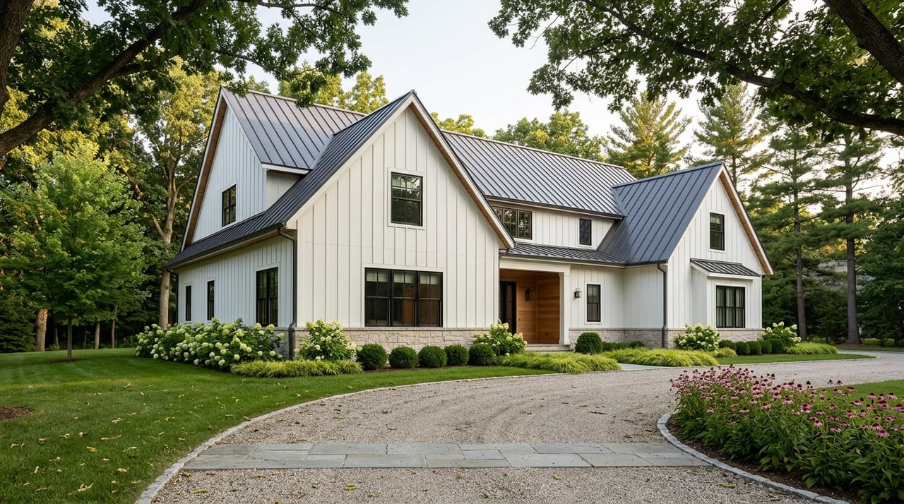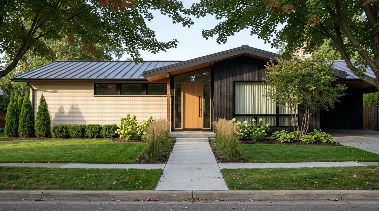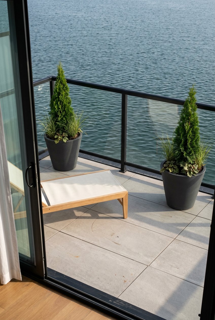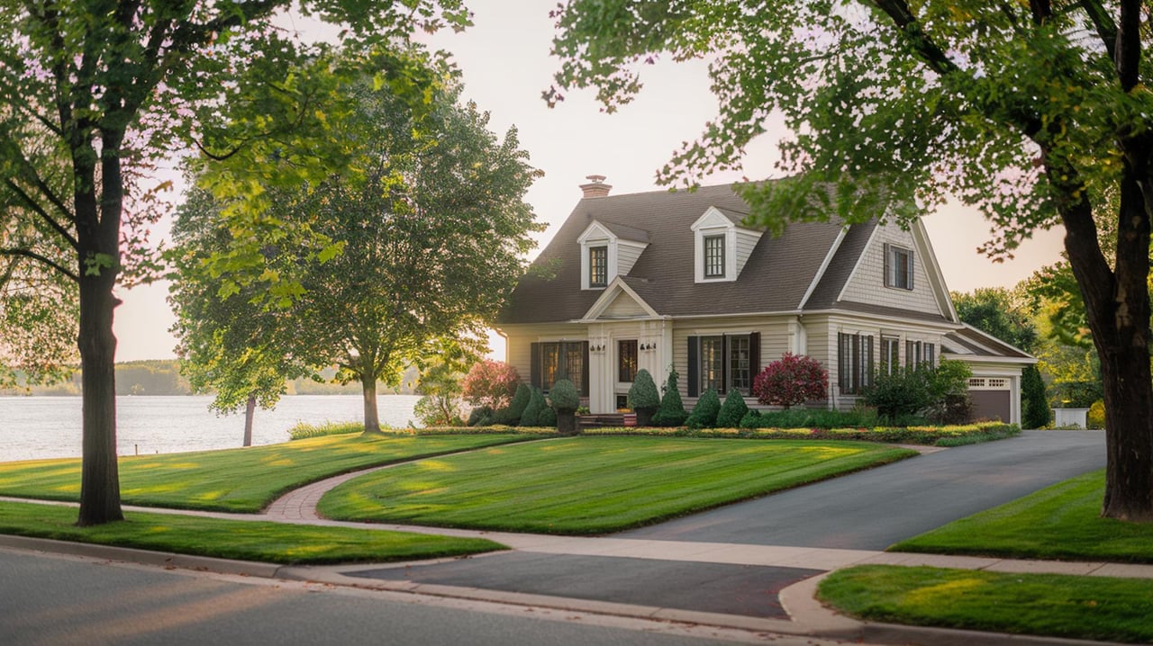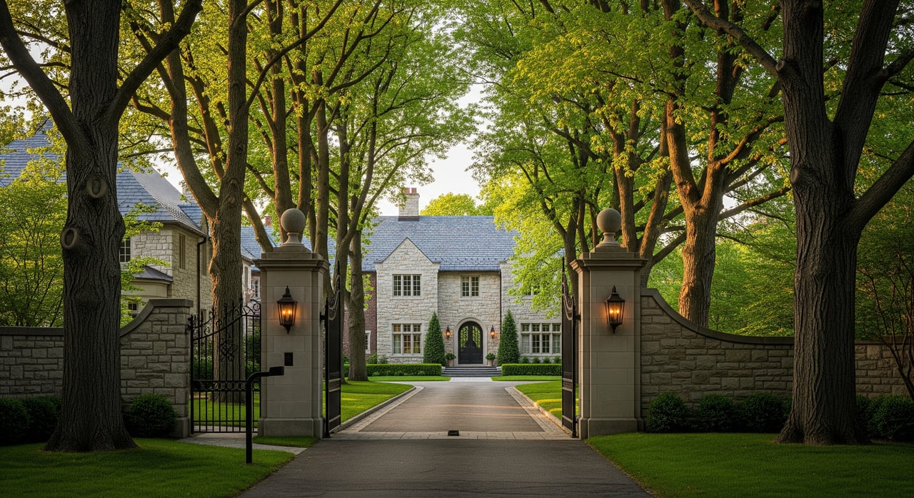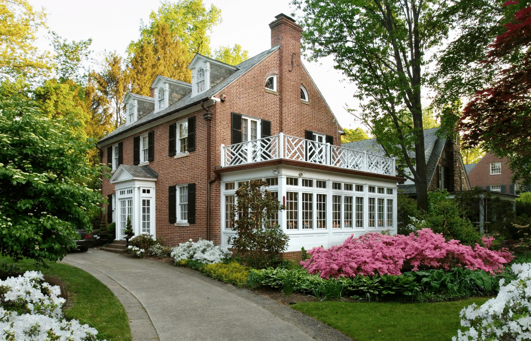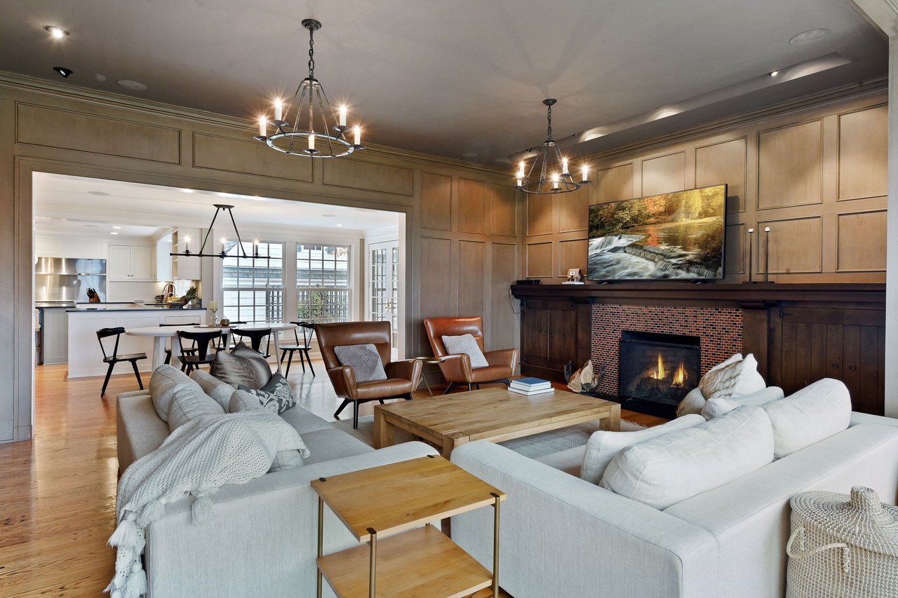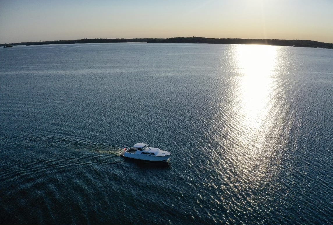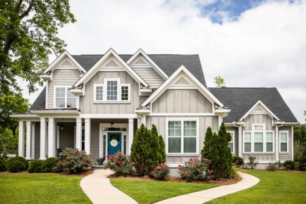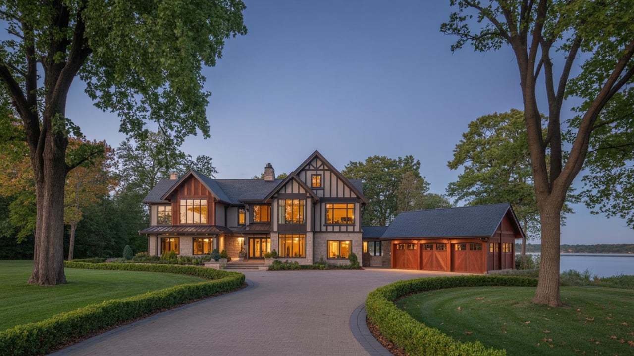
If you live near Glen Lake and dream of a Lake Minnetonka lifestyle, the bay you choose will shape your days on and off the water. Some shorelines buzz with restaurants and marinas, while others feel calm and tucked away. This guide breaks down how the lake’s bays function, what rules and services matter, and how to match a bay to your routine. You’ll also get a simple buyer checklist so you know what to verify before you tour. Let’s dive in.
Minnetonka basics and oversight
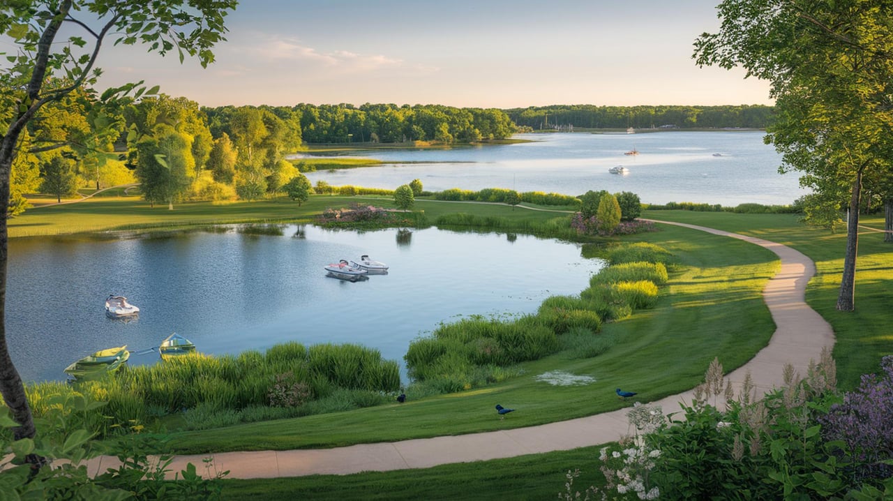
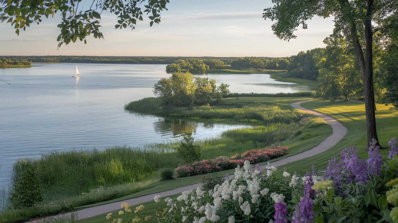
Lake Minnetonka is a metro chain of connected bays and small lakes spanning about 22.7 square miles. Locals often divide it into an Upper Lake to the west and a Lower Lake to the east. The layout matters because wind, boat patterns, and access points vary bay by bay.
Three organizations shape daily life on the lake:
- Lake Minnetonka Conservation District (LMCD): Oversees on-lake rules, docks, marinas, and publishes maps of facilities by bay. Use the LMCD map to find public launches, beaches, and marina services. Explore LMCD maps.
- Minnehaha Creek Watershed District (MCWD): Operates Gray’s Bay Dam, the lake’s outlet, which influences seasonal water levels and shoreline conditions. See Gray’s Bay Dam operations.
- Lake Minnetonka Association (LMA): Coordinates many bay-level programs that manage aquatic vegetation and invasive species. View bay treatment programs.
The practical takeaway: shorelines look similar, but rules, water depth, and access can change from bay to bay. Verify dock rights, water depth, and local programs for any property you consider.
Match a bay to your lifestyle
Below are common bay types and what you can expect. Use them to shortlist areas that fit how you want to live.
Town-edge, walkable bays
Wayzata Bay and Excelsior Bay pair boating with downtown energy. Expect municipal docks, lakewalks, and seasonal events ashore. Wayzata operates a 100-slip municipal marina with a resident-only lottery, which keeps docks active and the shoreline social. Learn about Wayzata’s slip program. The City of Excelsior anchors another historic, walkable shoreline with parks and events. Explore Excelsior community info.
- Buyer takeaway: If you want to boat to lunch, host friends near public docks, and walk to shops, start with Wayzata Bay or Excelsior Bay. Expect more weekend boat traffic and less on-lake privacy.
Marina and service hubs
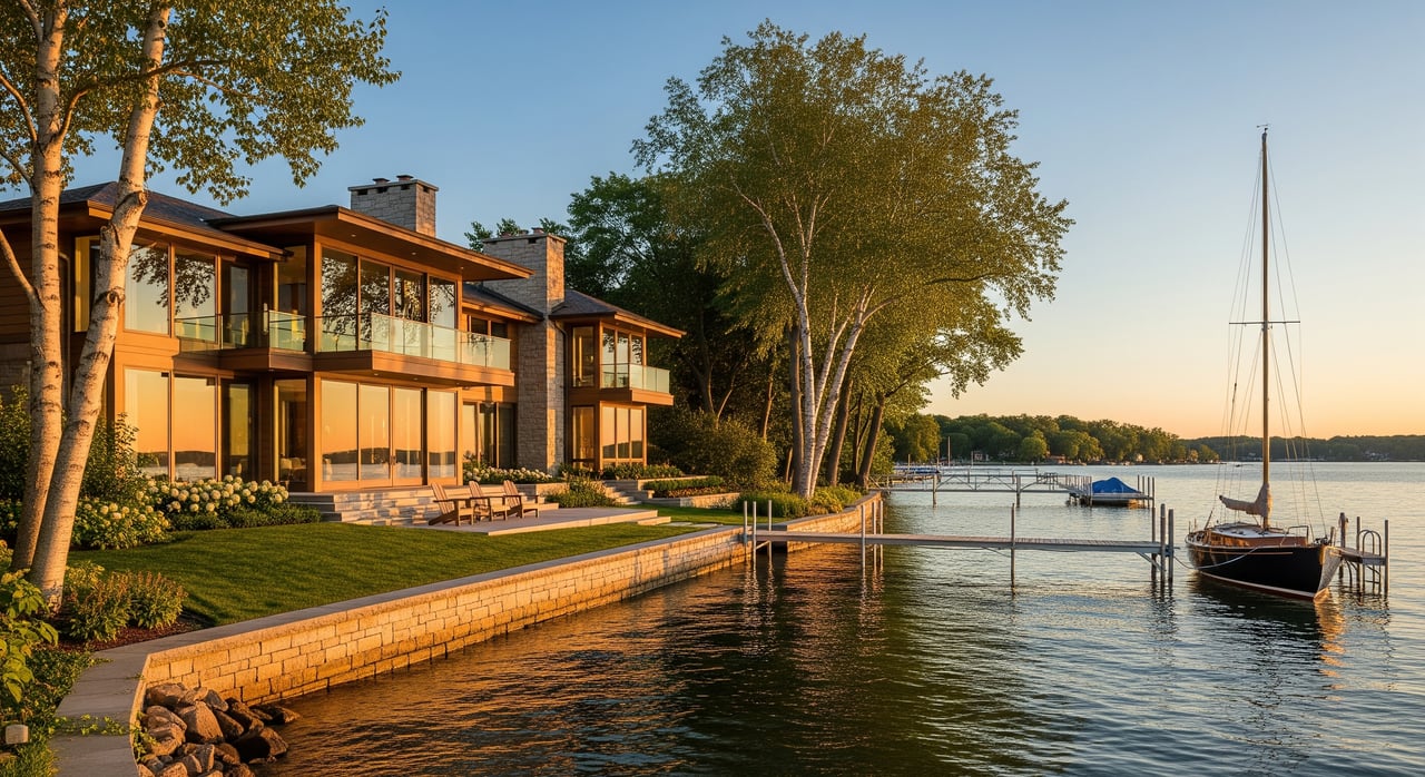
Some bays concentrate full-service marinas with fuel, repairs, winter storage, and lifts. Tonka Bay, Echo Bay, parts of North Shore, and the Wayzata-Maxwell area are common hubs. These locations are ideal if your boating requires services year-round.
- Buyer takeaway: If a slip or service access is essential, check marina waitlists and whether a listing’s slip is deeded, association-controlled, or municipal. Use the LMCD facilities map and confirm rules like Wayzata’s resident-only lottery if you plan to rely on municipal docks. Wayzata Boat Slips.
Quiet coves and residential inlets
Sheltered coves and smaller bays often feel calmer, with less through traffic and fewer waves. You’ll find them off Phelps Bay, parts of Crystal Bay, and some north-arm inlets. Paddlers, anglers, and early risers tend to prize these pockets.
- Buyer takeaway: If morning paddles and low-wake afternoons are your goal, focus on smaller, protected bays. Check water depth and vegetation patterns, since shallow littoral areas can limit larger boats. The LMCD map helps you review nearby access points and general bay layouts.
Island and historic enclaves
Island clusters and historic cottage districts deliver privacy and a distinctive, old-lake character. You’ll see shared docks, communal greens, and a tighter-knit feel. Access usually runs by boat-only, with association rules guiding dock use and transport.
- Buyer takeaway: If you value character and quiet, islands can be special. Just confirm logistics ahead of time, including association rules, dock assignments, and year-round access needs.
Shallow, wetland-rich bays
Areas like Halsted Bay and parts of the North Arm hold extensive plant beds and shallower water. These zones support wildlife and can feel serene, but they may constrain deep-draft boats and require more attention to seasonal growth. Local bay groups often partner on vegetation management.
- Buyer takeaway: If you love nature views and privacy, shallow bays can work well. Confirm your boat’s draft and ask about any recent bay treatments. The Lake Minnetonka Association posts updates on bay-level treatment programs, and LMCD shares resources on native and invasive species.
Access, seasons, and rules
Your day-to-day experience depends on how you reach the water, where you can cruise, and what seasonal patterns look like. A few essentials:
- Public access and amenities: Use the LMCD map to find launches, beaches, fuel docks, and restaurants with mooring. This is the best planning tool for scouting bays and services.
- Wake and speed rules: LMCD adopted a 300-foot slow-speed buffer from shorelines and certain structures. Some bays add slow or no-wake zones at specific times. This helps protect shorelines and shapes where high-wake boats operate. Review current wake rules.
- Water levels: The MCWD manages Gray’s Bay Dam to balance flood control, recreation, and ecology. Operations influence seasonal lake elevation, which you may notice at docks or along shallow shorelines. See Gray’s Bay Dam operations.
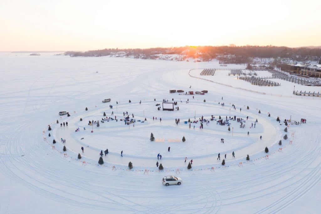
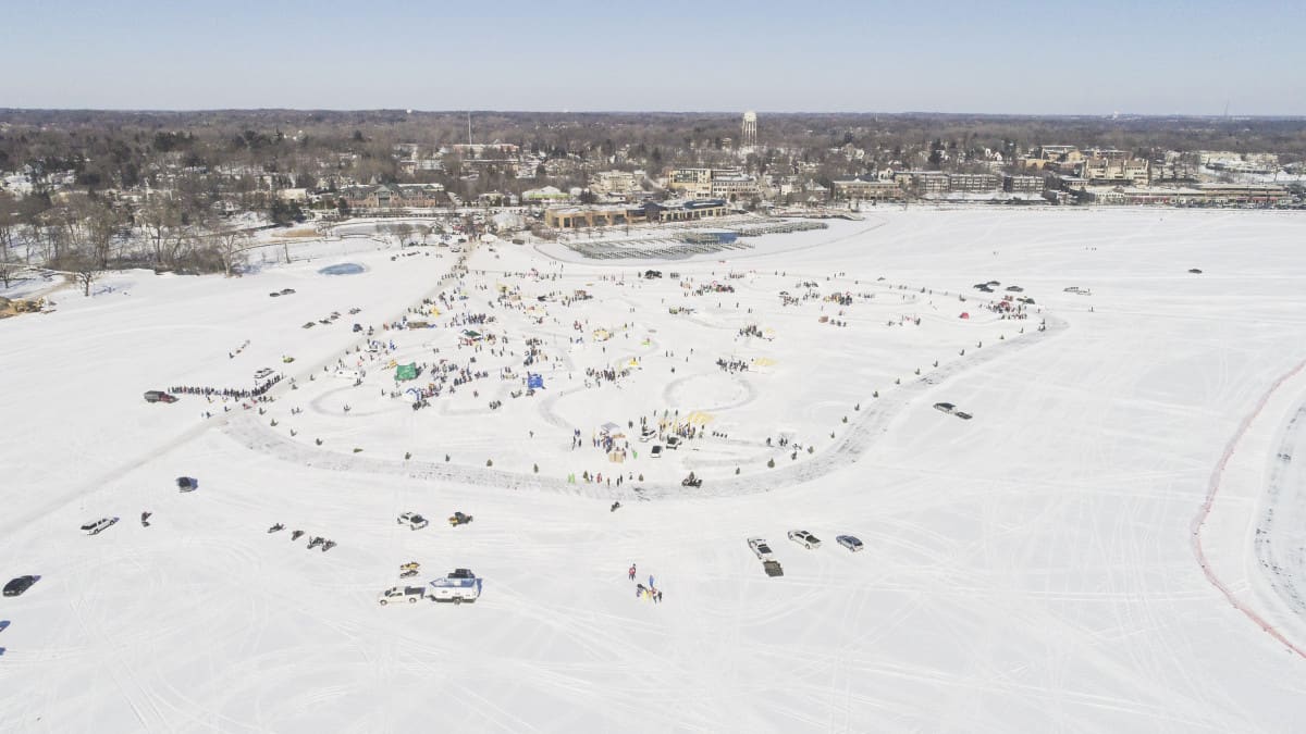
- Fishing, paddling, and ice: Species and conditions vary by bay, and winter activities are part of the rhythm. For plant, water-quality, and AIS resources, review LMCD’s native and invasive species page.
Glen Lake vs Minnetonka: what to know
Glen Lake in the City of Minnetonka is a separate, smaller 98-acre lake in the Nine Mile Creek watershed. It averages about 8 feet deep, with a maximum depth around 25 feet. The lake has no public boat launch or designated public swimming beach, and it trends more residential and trail-oriented. Review the Glen Lake fact sheet for size, access, and water-quality notes.
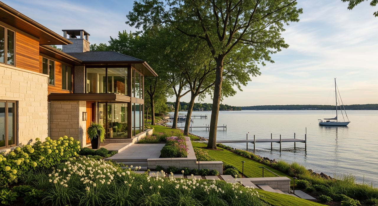
If you live around Glen Lake and want the Minnetonka experience, you’re close to high-amenity bays, marinas, and public docks. Your best move is to shortlist specific Lake Minnetonka bays that fit your on-water goals, then plan tours that include both shore and boat access points.
Shoreline, docks, and permits
On Minnetonka, docks and shoreline structures are governed by LMCD rules and local city codes. The number and type of watercraft a property can store often depends on shoreline length and prior approvals. Some docks are private and deeded, while others are municipal or association-controlled. Before you assume anything about a slip or lift, confirm the legal status and history. Review the LMCD Code of Ordinances and their lakeshore owners guidance.
- Boathouses and structures: Past permits are crucial. Ask sellers for LMCD and city approvals and any variance records.
- Shoreline work: Projects like dredging or riprap usually require state and local permits. Build in lead time and confirm scope with the city and LMCD.
- Water quality and AIS: Many bays coordinate vegetation management to balance recreation and habitat. Check the LMA’s bay treatment updates.
A quick buyer checklist
- Dock status: Is the slip deeded, municipal, or association-controlled? Request LMCD license history and permits. LMCD lakeshore owners.
- Water depth: Verify depth at the proposed dock and approach at ordinary high-water level, and consider seasonal variation. LMCD lakeshore owners.
- Marina availability: If you need a slip or service, confirm nearby options and waitlists using the LMCD map.
- Shoreline permits on file: Ask about any prior work and approvals. LMCD Code.
- Bay vegetation and treatments: Request recent info from the seller or association, and review LMA updates. Bay treatment programs.
- Floodplain and insurance: Confirm FEMA status with the city or county before you finalize terms.
How we help you choose the right bay
Picking the right bay is about lifestyle fit and due diligence. You deserve a team that understands how docks, depth, wake rules, and design potential shape your daily life and long-term value. With a design-forward approach, local lake expertise, and high-touch buyer representation, we help you verify permits, assess shoreline conditions, plan for marina access, and align a home’s architecture with the way you want to live.
When you are ready to tour by bay and compare options, reach out to the Turnquist Spilseth Real Estate Group. We will map your priorities to specific shorelines, coordinate access checks, and guide you from first visit to a confident close.
FAQs
Which Minnetonka bays are most walkable to shops and dining?
- Wayzata Bay and Excelsior Bay offer downtown shorelines with public docks and seasonal events. Review Wayzata’s slip program and Excelsior’s city resources as you plan visits.
What wake rules should new boaters know on Lake Minnetonka?
- LMCD enforces a 300-foot slow-speed buffer from shorelines and has additional slow or no-wake areas by bay and time. See current wake rules.
How is Glen Lake different from Lake Minnetonka for access?
- Glen Lake is a 98-acre residential lake with no public boat launch or swimming beach, while Lake Minnetonka offers public launches, marinas, and town-edge docks. Review the Glen Lake fact sheet.
If a listing says “dock included,” what should I verify?
- Confirm whether the slip is private, municipal, or association-controlled, plus transferability and LMCD permit history. Start with LMCD lakeshore guidance and check any municipal programs like Wayzata Boat Slips.
Where can I find marinas and public facilities by bay?
- Use LMCD’s bay-by-bay map to locate launches, fuel, pump-out, and restaurants with docks. Open the LMCD facilities map before you tour.